
Sailability
Using advanced 3D scanning, Recon captured every detail of the yacht’s design.

Judges Residence, Apia, Samoa
Recon completed a laser scan of both the interior and exterior, created a 3D scan pointcloud and a Scene2Go walk through tool of the building, and a full site orthophoto from the flight.
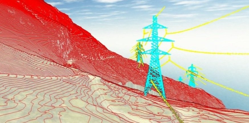
Optimising the National Grid with LiDAR Technology
Transpower’s use of drones is increasing as they are less intrusive, quicker, provide better data, reduce greenhouse gas emissions, and are safer to operate. Recon Ltd is always up for the adventure.

3D Laser Scanning for Large Scale Redevelopment Project: Precision and Efficiency in Action
Recon digitised the building and infrastructure, using scanners accurate to 1mm, and produced 360-degree ‘walk-throughs’ and a Revit model.

Waihi Beach Erosion and Accretion Monitoring
Recon have completed biannual aerial surveys of the beach over the last 4 years using surveyed control and a commercial-grade UAV with gimbal-stabilised camera.
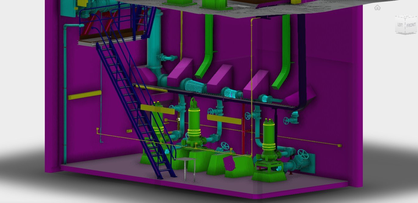
Watercare, Asset Management
Recon was tasked with capturing 3D pointcloud data and CAD modelling the exterior and interior of a number of pump stations.
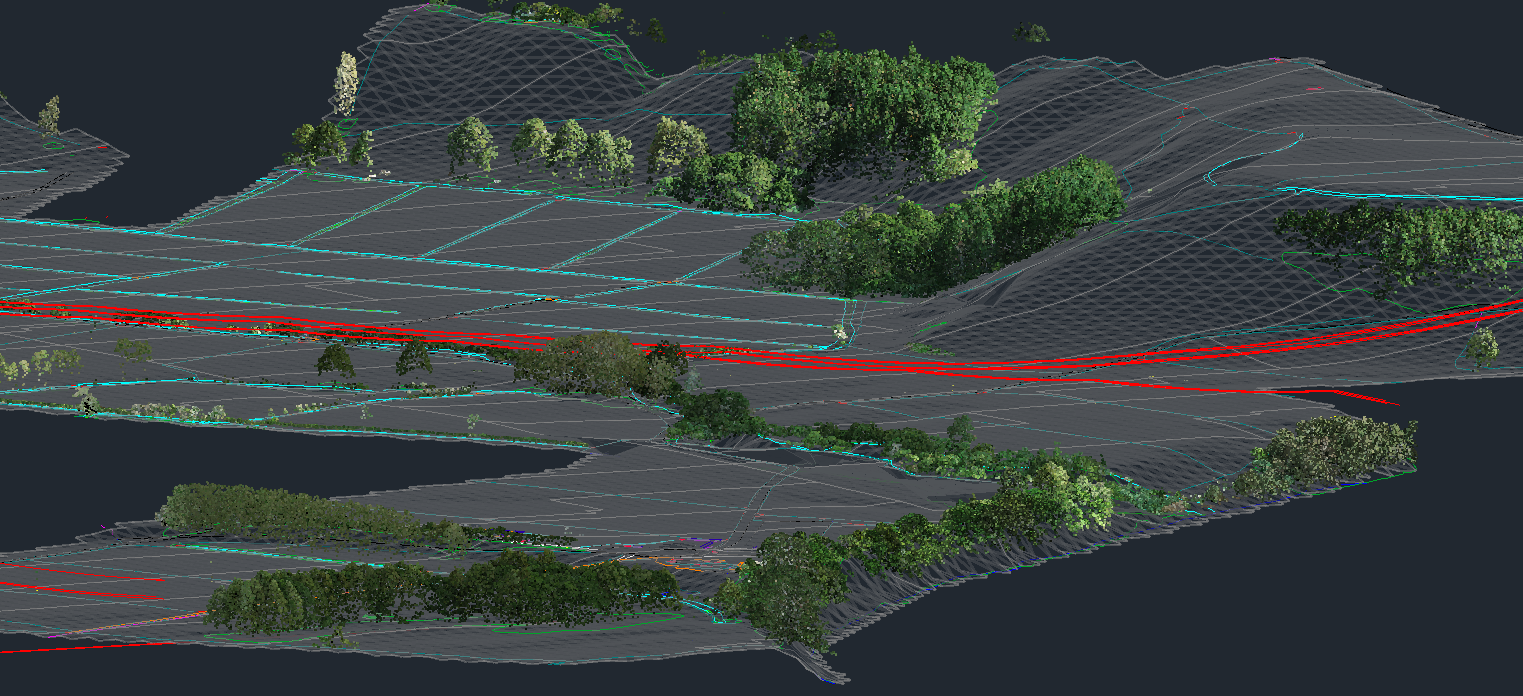
Far North Solar Farm Ltd Tackles Power Crisis
Recon Ltd has worked with FNSF on surveying proposed solar farm sites by capturing 3D LiDAR and aerial photography of the sites
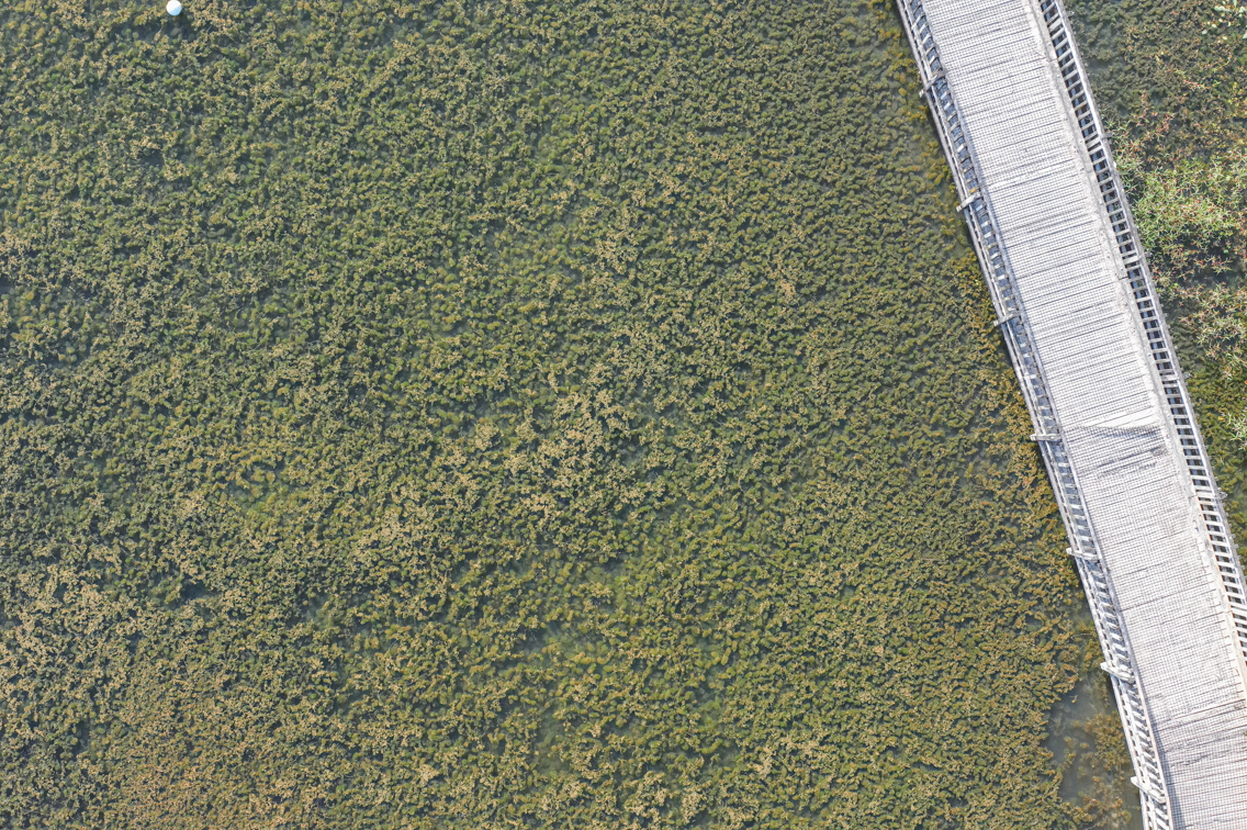
How high-resolution drone imagery helped to combat invasive freshwater weeds
Recon Ltd was contracted to aerial survey the pond using a drone with a special camera filter approximately 1 week after each treatment over two separate trials.

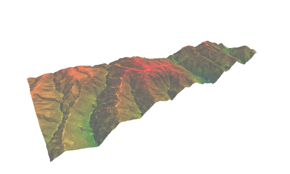
Drone LiDAR Survey Aids Te Rere Hau Windfarm Upgrade
Recon was approached by surveying and engineering professionals Aurecon in early 2022 to provide LiDAR aerial mapping services for NZ Windfarms Limited’s Te Rere Hau wind farm repowering project located on the Tararua Ranges.
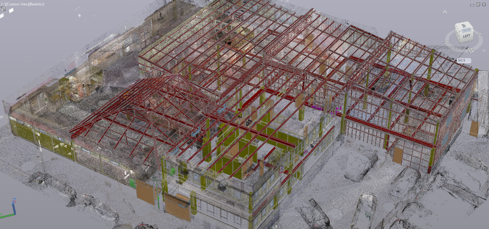
3D Scan to CAD Model – Building Renovation Case Study
Regardless of the age of your building its important to understand it’s physical dimensions and characteristics before designing any major renovation work.
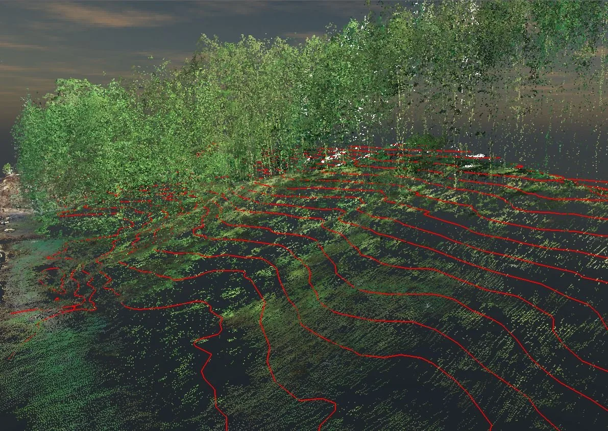
UAV LiDAR Mapping for Kiwirail
LiDAR of rail lines, capturing critical detail such as abutting streams, gulleys and terrain under trees is very economical and environmentally friendly via drone.
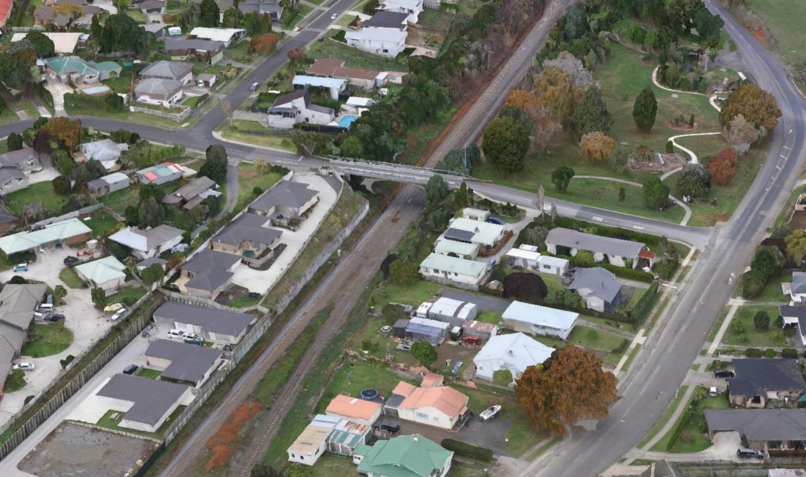
3D Reality Modelling in the Waikato
Waikato District Council staff are forward thinkers when it comes to data, particularly anything that can be related to a geographic location.

Wreck of the Daring Revealed
A long-forgotten shipwreck uncovered at the entrance to the Kaipara Harbour north of Auckland in 2018, has a lot to teach us about 19th Century ship building.
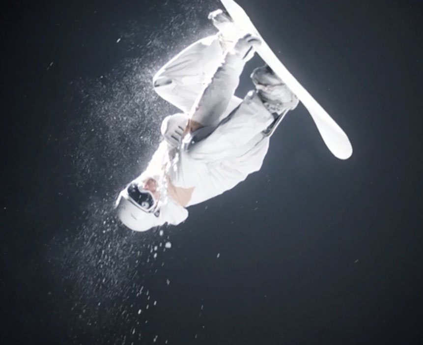
Recon’s Contribution to Pyeongchang Winter Olympics
Recently Recon travelled to the beautiful slopes of Queenstown to provide terrain data for The Mill production team ahead of the 2018 Winter Olympics.
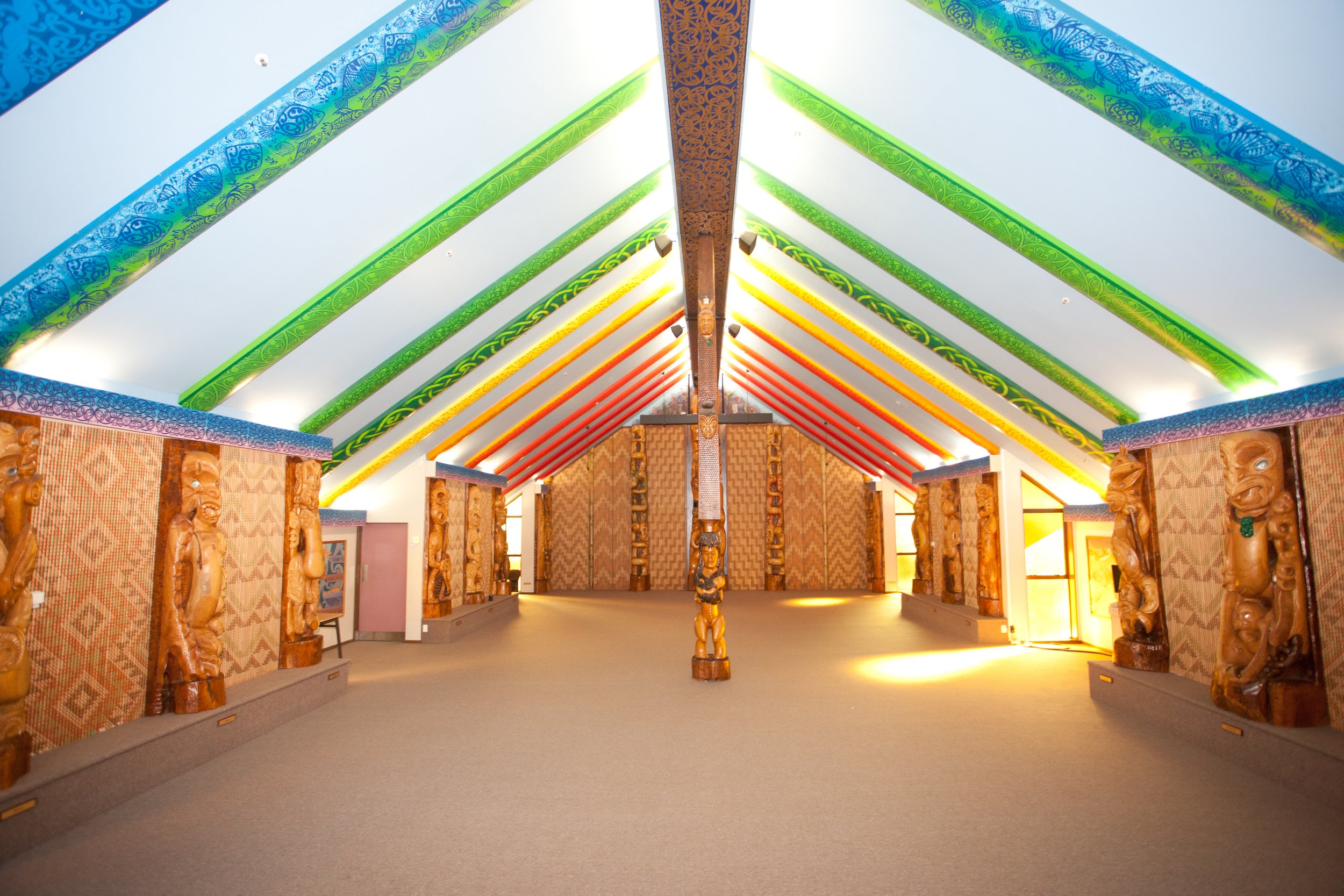
3D Laser Scanning Brings Māori Culture to Life for Students
The deployment of Recon’s 3D laser scanning technology within the Auckland University of Technology’s marae recently showcased an entirely new educational purpose for the ground-breaking software.
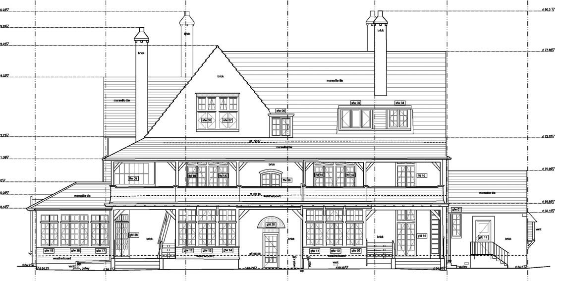
3D Laser Scanning Helping to Future-Proof the Past
Utilising 3D laser scanning technology within heritage locations helps prepare these sensitive areas for the future.
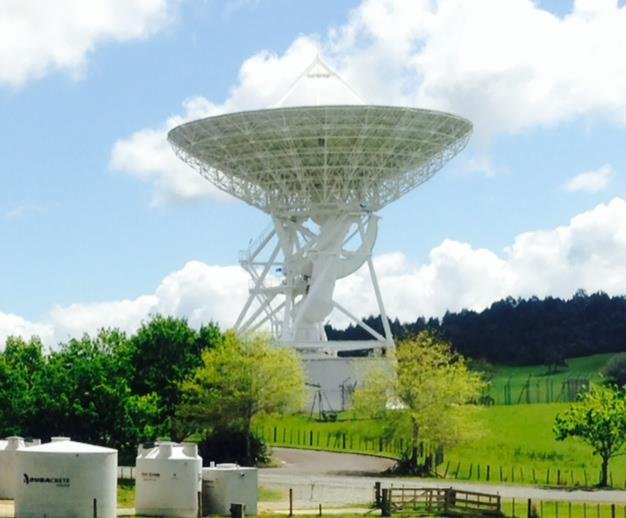
Analysing the Structure of a 30M Radio Telescope
The Institute of Radio Astronomy and Space Research at the Auckland University of Technology operates the Warkworth Radio Astronomical Observatory located near the township of Warkworth, approximately 60 km North of Auckland.
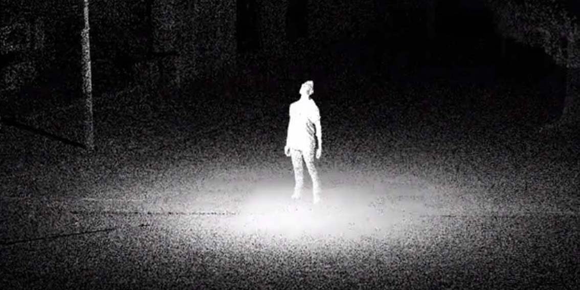
Faro Scanning Tech in Kiwi Music Video
Director Sam Peacocke’s stand-out new music video for local act Pacific Heights was created using FARO 3D scanning technology in a revolutionary new way.
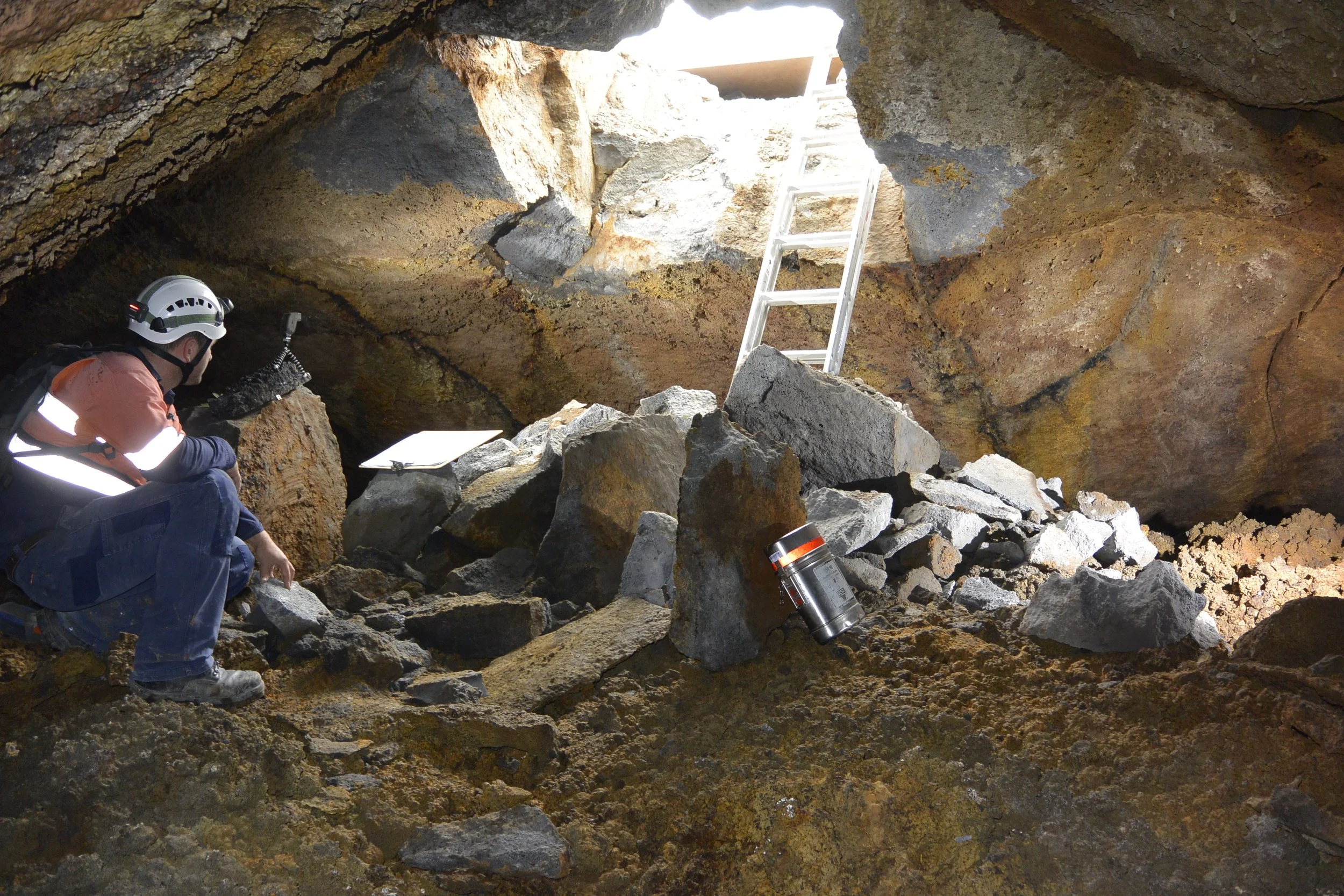
Laser Scanning A Lava Cave Provides New Subterranean Data Sets
It isn’t every day Recon consultants are called upon to scan a prehistoric lava cave underneath a suburb in a major city. But part and parcel of completing subterranean construction work in Auckland – which lies sprawled across the country’s largest volcanic field – means that encountering them is not uncommon.

