
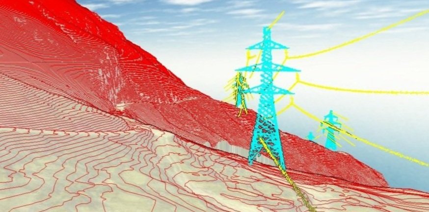
Optimising the National Grid with LiDAR Technology
Transpower’s use of drones is increasing as they are less intrusive, quicker, provide better data, reduce greenhouse gas emissions, and are safer to operate. Recon Ltd is always up for the adventure.
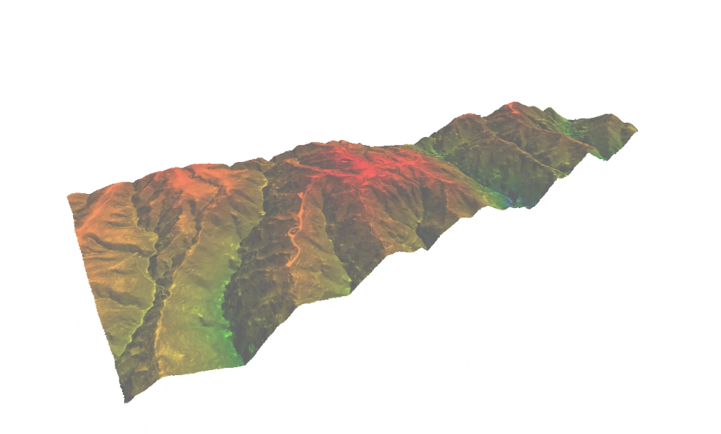
Drone LiDAR Survey Aids Te Rere Hau Windfarm Upgrade
Recon was approached by surveying and engineering professionals Aurecon in early 2022 to provide LiDAR aerial mapping services for NZ Windfarms Limited’s Te Rere Hau wind farm repowering project located on the Tararua Ranges.