UAV LiDAR Mapping for Kiwirail
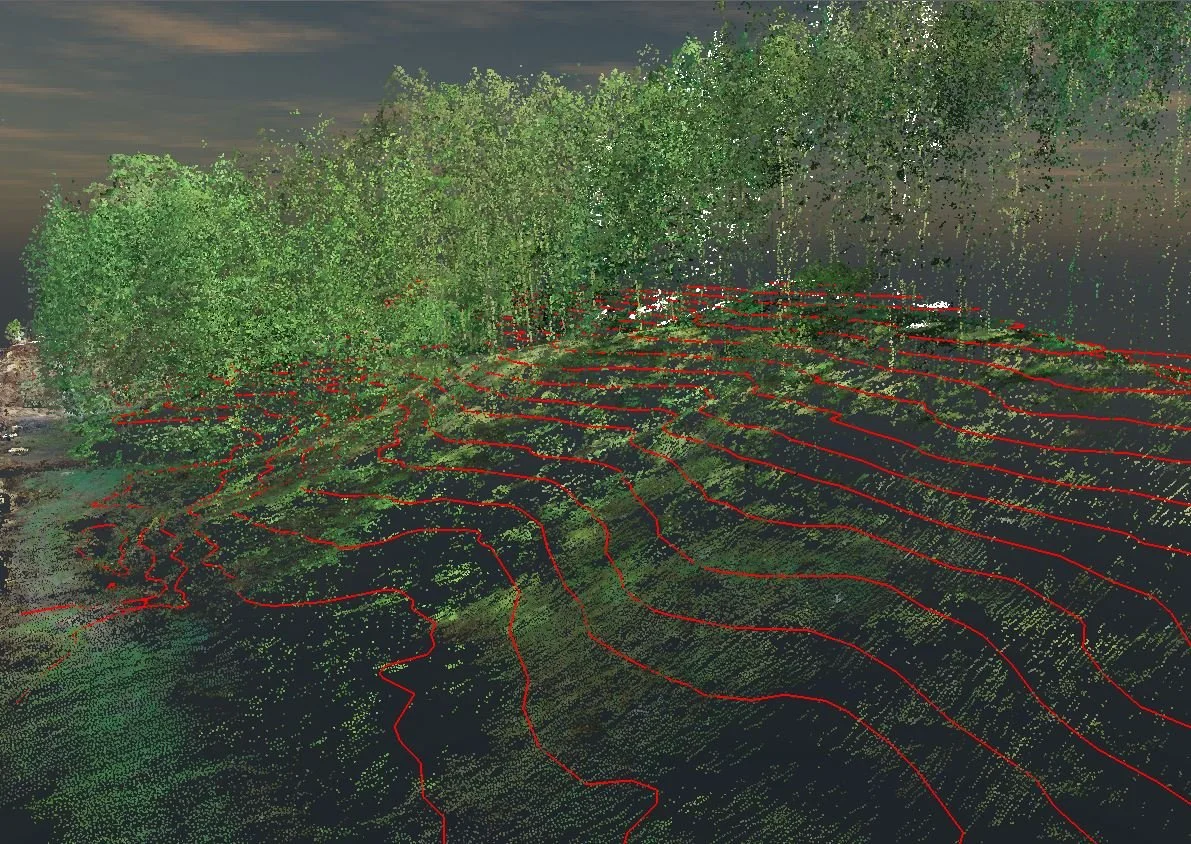
LiDAR of rail lines, capturing critical detail such as abutting streams, gulleys and terrain under trees is very economical and environmentally friendly via drone.

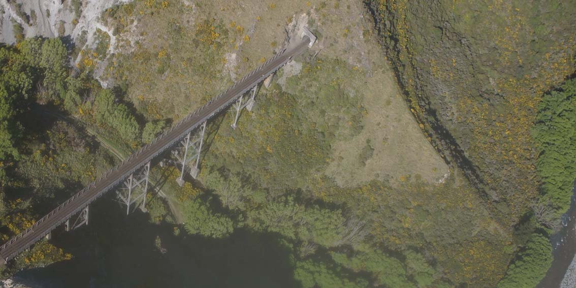
UAV Survey – Kiwirail’s Key Link
Richard Justice, principal engineering geologist with ENGEO Limited, is a firm advocate for the use of UAV (unmanned aerial vehicle) technology to map landforms for further geological assessment.

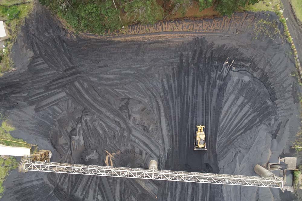
NZ Steel UAV - Taking Stock
Recon’s UAV consultancy service provides New Zealand Steel with a safe and fast way of acquiring stockpile volume data.
