
3D Survey Scanner
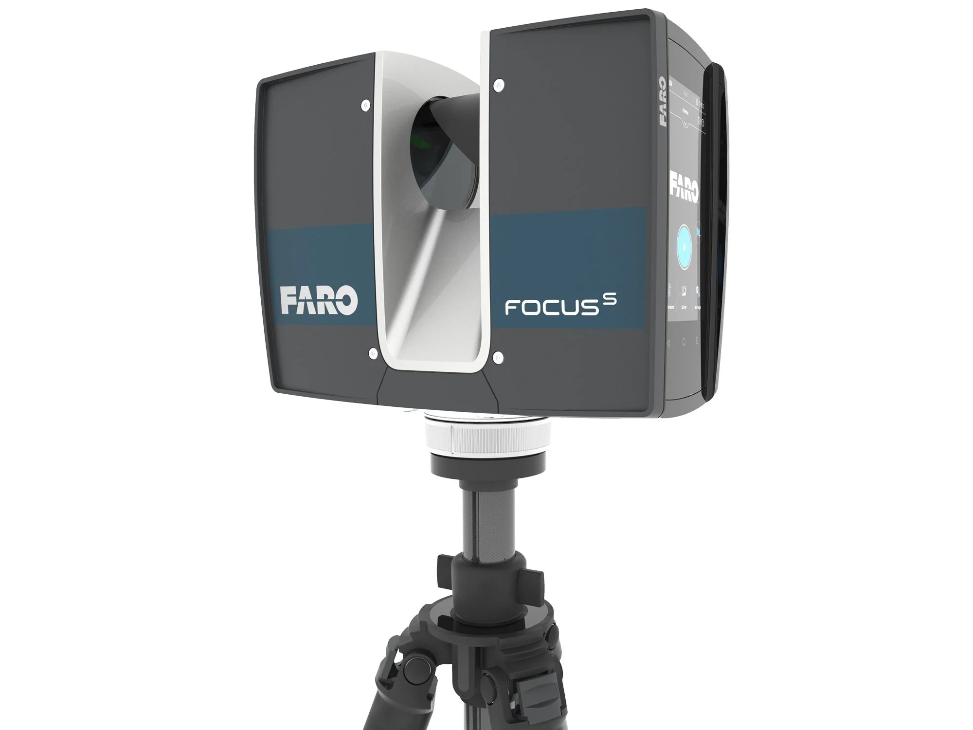
Our survey scanners can scan from as close as 0.6m to a range of 70m or more depending on the model. Scanners capture as many as 976,000 data points in a second, and are accurate within 1mm. The scanners make use of high dynamic range (HDR) laser technology. With HDR, images are recorded at various exposure rates before being combined into a single image layer, incorporating data from brighter or darker areas which would be lost to standard image capture.
Each scanner also contains an integrated digital camera. Photos can be taken at the same time the laser scans. Photos and scans can later be overlaid by matching data points to the colours captured by each photograph. The result is an accurate model in photorealistic detail that can be produced much more quickly than when matching photos and scans from separate devices.
Contact us about 3D scanner hire.
RECON’S SCANNING PROCESS
In order to obtain a complete scan of a building or other structure, scans are taken from several locations. Multiple scans are then integrated by matching scanned points to surveyed coordinates.
Together with photo overlay, this data is then integrated into the software type you require. Recon’s team are experts at 3D model creation and software integration. Depending on the platforms you use, we are able to import into GIS or CAD software, or use our own specialist software to create the models you require. The models we can create range from 3D images all the way through to detailed BIM models for large scale projects.
Contact Recon today to discuss 3D laser scanner hire or our 3D survey scanning and modelling services.