
3D Laser Scanning Buildings
BIM
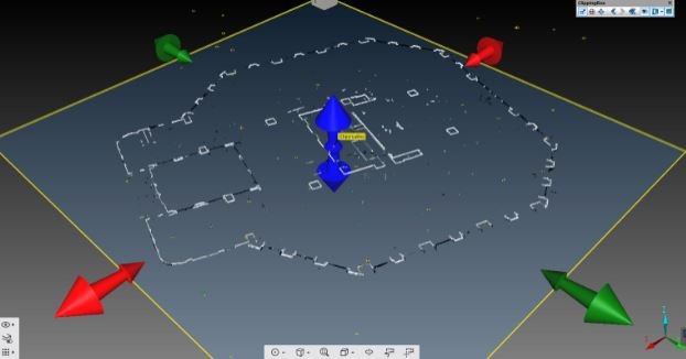
Recon has provided building scanning services within its survey team for a number of years, often supplemented by drone survey for high surfaces such as window detail and roofs. The 3D laser scanner is a line-of-sight tool and captures everything in a 360 degree ‘sphere’ of each scan location. Once all scans are registered together and controlled via total station survey, the 3D laser scanning survey capture is complete.
The data is then passed on to the modelling or CAD team to produce the required outputs. Recon’s BIM modelling services include the modelling of all visible building components. The 3D scanner can be placed in attics, basements or in ceiling cavities to capture services hidden to the human eye. The scanner uses infrared light so even when the space is in pitch-black darkness, our 3D scanner will measure it!
SCAN TO BIM
3D laser scanning buildings means the estimation is removed from the initial measure-up. The drafting is ‘as-built’, meaning all form, detail and deformation is captured. Retrofitting existing building space, designing structural strengthening or planning of any changes should begin with a 3d building survey. It all-but removes the risk of human error during the site measure and the chance of incorrect design.Speak to your software supplier about 3D scanning.
More and more software suites are becoming capable of importing the pointcloud directly, meaning you can work with the truest, most raw form of the data directly. With the use of a 3D scanner construction errors will be significantly reduced, with the ability to quality check as you build! Simply overlay the design over the 3D pointcloud (in software such as Autodesk’s Navisworks) and run your clash detection algorithms and reports. Use modern technology to save time, cost, reduce risk and provide absolute quality assurance to your clients.
Speak to the owners directly about 3D scanning buildings, email jeremy.n@recon.nz or ben.c@recon.nz or call on 0800 732 669.