Powerline LiDAR Survey
The Environment
There are a number of reasons why using a UAV is not just the smart solution, but also better for the environment. Afterall, UAVs are powered by batteries which are charged from the home or office. This power, in NZ, is more than 84% generated via renewable sources, primarily hydro, wind and geothermal. This is in stark contrast to the amount of CO2 and other greenhouse gases produced from manned aircraft.
3D Modelling
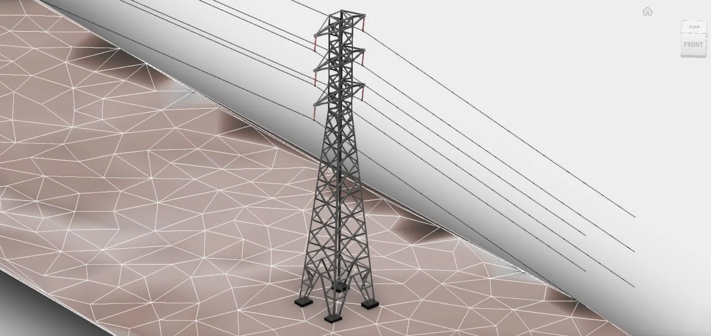
The definition achieved by a UAV, capturing at a distance of 20m – 40m from the lines and structures, provides the ability to model to a much greater degree of detail. As shown in the image, conductors, insulators as well as every steel beam of the tower can be modelled. This provides valuable information to engineers when they’re tasked with assessing existing assets for future requirements.
Asbuilt Surveys
As-builts of power structures, when coupled with high resolution images, provide a valuable source of information for a range of applications. It’s not a new idea to deploy drones for maintenance and inspection services, however images alone don’t provide the 3D component to allow line clearances above the ground and vegetation to be measured to a high degree of accuracy. UAV LiDAR typically emits 500 – 1,000 points per square metre, so if there’s a gap in the vegetation canopy, the LiDAR will find it and provide an accurate ground model.
Vegetation Management.
The repeatability of UAV LiDAR capture provides an economical method for comparative modelling of vegetation growth or slope stability. Algorithms exist now that permit the automatic analysis of LiDAR surveys to provide valuable information for engineers as well as the field crews. Significant cost savings can be made if the companies managing the vegetation control can minimise their logistical time if they can see that, for example, a particular tree will become a hazard in the next 1 – 2 years. The crew can trim the tree while they’re in the area, saving a return trip.
Email Jeremy.n@recon.nz or to discuss call 0800 732669

