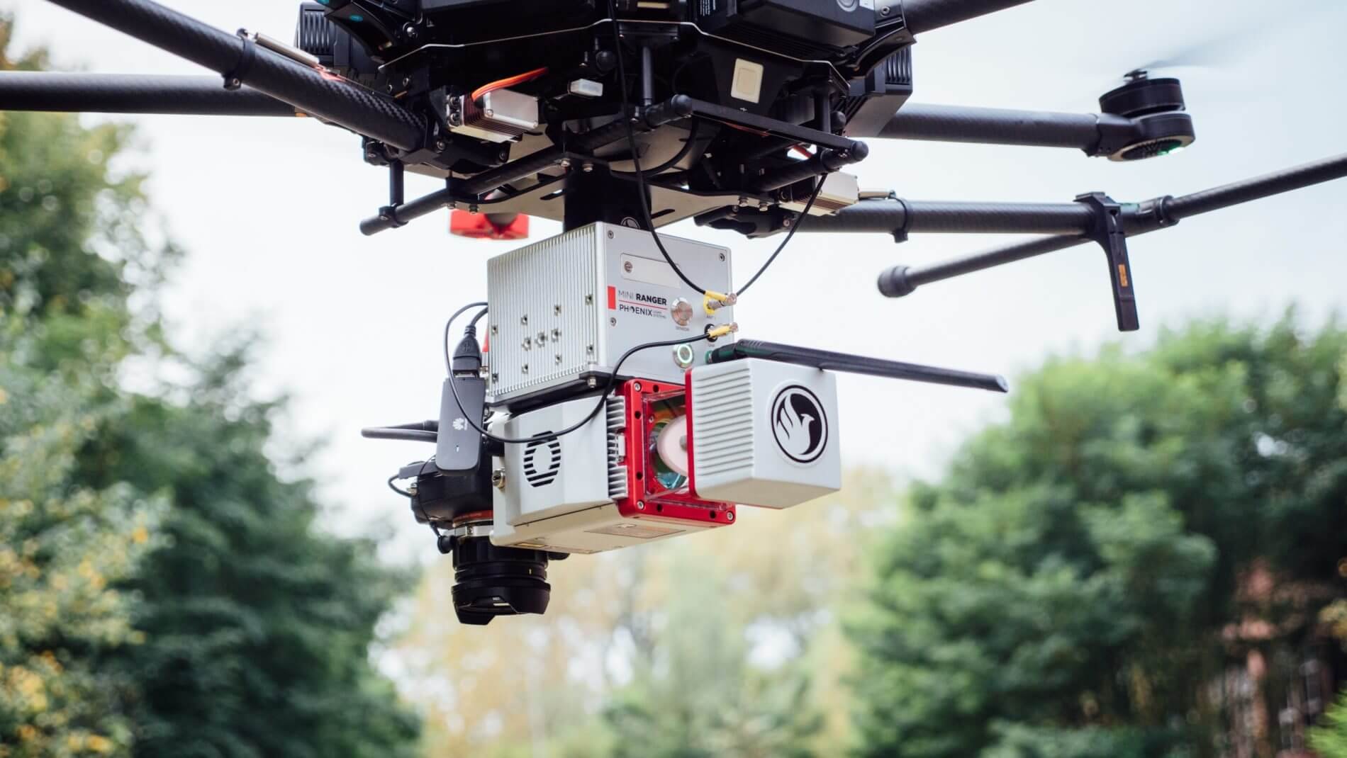
FAQ: 3D Laser Scanner Services Using Drone Technology
If this is the first time you are hiring a company to do some 3D laser scanner services via drone, you may have some questions.
Is It Expensive To Get 3D Laser Scanner Services Done By Drone?
Obviously, there is a cost involved in hiring 3D laser scanner services to be conducted by drone. However, you should not look at this initial cost in isolation. It is vital to consider the spin-offs of using this type of technology that will save you heaps of money throughout your project.
This method of gathering survey data has low personnel and equipment requirements meaning that work can be done safely and efficiently. The resultant data is highly accurate and quickly processed. The quality of the data is such that it will put you in a position to make the best possible project management decisions from the get-go. There will be fewer costly errors and adjustments, which will help you get the project done efficiently, saving money in the long run.
What Is The Quality Of The Data Gathered?
Compared to other surveying methods, 3D laser scanner data collected by drone will be of the highest quality, with accuracy to within 50mm. This data is, therefore, highly beneficial to a variety of applications.
How Is The Data Gathered Used?
As the end user, the raw data gathered by the 3D laser scanner drone services may not be something that you can work with directly. However Recon, as your survey specialist, will be able to convert the data points (also referred to as point clouds) into digital representations, such as 3D models that are more user-friendly. Web apps can be developed for you to use online where you can zoom, pan and rotate the 3D model. Finer details, such as internal structure, can also be included where required.
How Long Does It Take?
3D laser scanner work done by drone is the fastest way to do surveying. As the scanning is done from the air, there are no obstacles to slow down the process. Drones are operated remotely, and data is transferred from the air in real time.
Contact Recon today to find out how our 3D laser scanner services via drone can help your project. We have significant experience in surveying, LiDAR, aerial mapping and 3D scanning using the latest equipment and software.

