
Commercial Drone Services
TYPES OF DRONE SERVICES
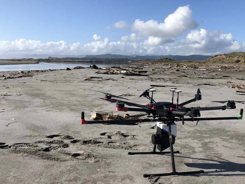
Surveys done by drone allow access to richer images and data than traditional survey methods. They are also faster, cause no interruptions to work and pose zero safety risk. With a faster turnaround and greater accessibility than aerial mapping done by larger aircraft, drone surveys are the most effective survey method in many scenarios. Recon are experts at conducting efficient and thorough drone surveys and providing you with clear and useful data.
At the most basic level, drone flights can take high-quality aerial images and videos to be used for promotional purposes or a general inspection. Where a precise aerial map is required, geo-referenced orthophotography combines and adjusts multiple aerial photos to create images at scale that reflect real-life distances.
Richer data can be obtained from drone flights using laser surveying techniques. Laser allows for detailed mapping of buildings and topography. The models that can then be created from surveys include digital terrain models, volumetric estimates, and 3D building or other structural models.
EXAMPLE USES OF DRONE SERVICES
Drone surveying is used for precise mapping and analysis of planned rail and road routes with orthophotography. Subsequent flights during construction phases allow progress to be monitored and reported to stakeholders.
Drones are also ideal for mapping inaccessible forestry terrain, surveying vegetation health and modelling terrain for harvest road planning. Similar techniques can be used for agricultural areas to check crop health and plan resource management.
Volumetric surveying of stockpiles is also far more efficient than manual surveying. Laser surveying allows work to continue uninterrupted while stockpile volumes are being measured, and produces more precise data more quickly.
Recon provide drone surveys for a range of uses and industries, including mining, land development, utilities and governance. Our drone services are highly customisable, and we combine our surveying expertise with the ability to create the required models on a variety of software platforms.
Get in touch with Recon today to discuss drone services for your next project.