3D Laser Scanning
Recon’s 3D laser scanning services captures highly accurate and detailed measurements of objects, buildings, and environments using Faro scanners.
This provides clients with point cloud data, 3D models, accurate measurements, asbuilt documentation, and quality control capabilities.
We have provided 3D scanning NZ services for a variety of industries including engineering, construction, manufacturing, and architecture, to improve planning and design, reduce project time and costs, enhance safety, and increase efficiency and productivity.
Industries
-
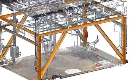
Architecture, Construction & Engineering
Pre-design 3D dimensioning and modelling
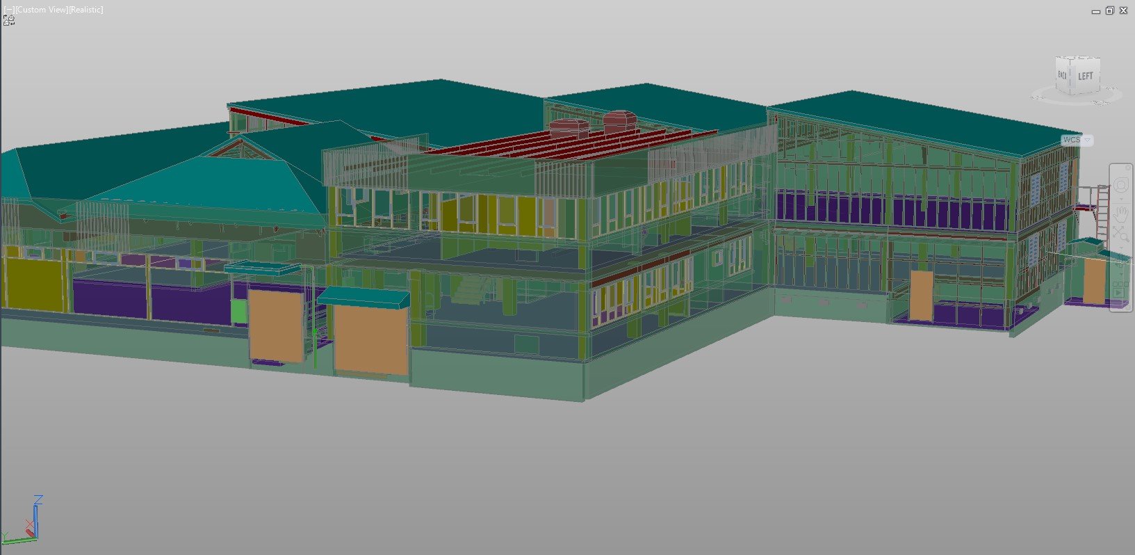
CAD and Revit model generation
QA during build by comparing the scan data to design
Integral 3D component of BIM model
Clash detection and identifying potential design issues - before building starts!
-
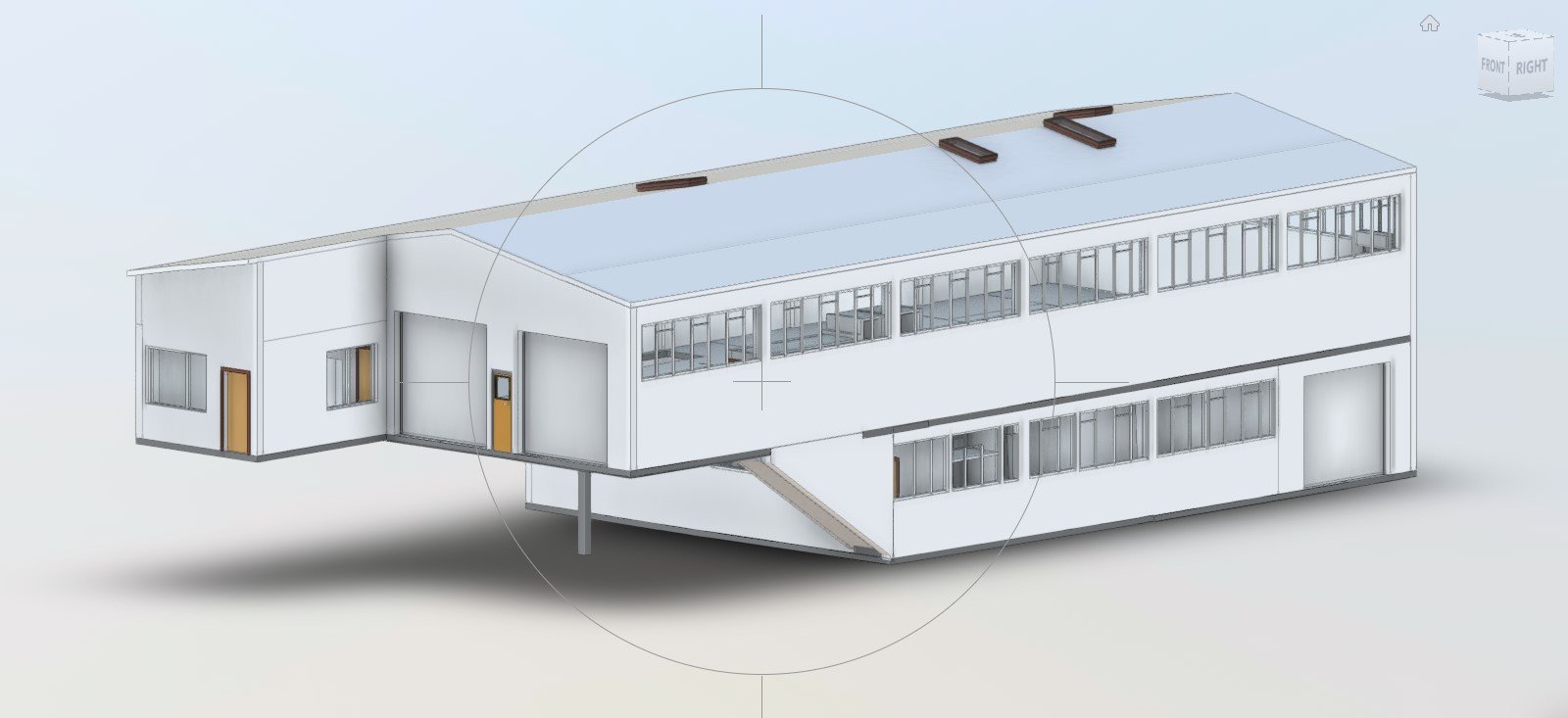
BIM
Scanning of the existing building and surrounding environment is often the first component of a successful BIM project
Generate survey-accurate 3D CAD drawings (DWG), floor plans and elevations
Enable detailed 3D pointcloud to be transformed into information-rich Revit models
Recon welcomes partnership opportunities if you think your company offers complimentary services
-
Heritage
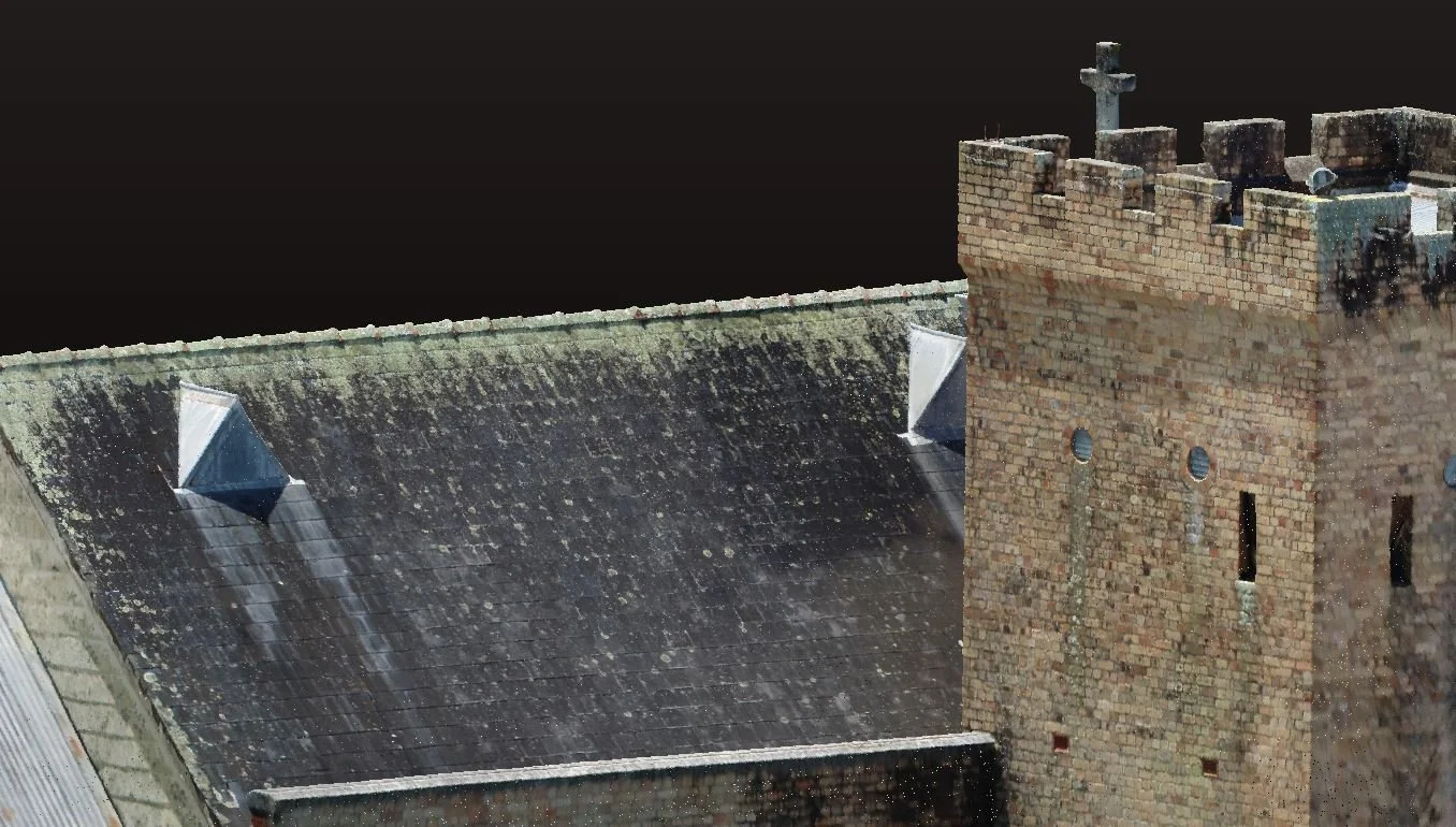
Capture the entire site dimensions and condition quickly and accurately
Ideal for remediation work or earthquake strengthening
Generate models and templates for rebuilding key heritage components
Build informative models for teaching and AR/VR applications
Combine with UAV (drone) data for a full ground and air solution
Analyse pointcloud data for structural assessment such as wall or beam deformation
Extract topographical survey data directly from the scan pointcloud
Utilise the highly visual data for marketing and promotional material
-
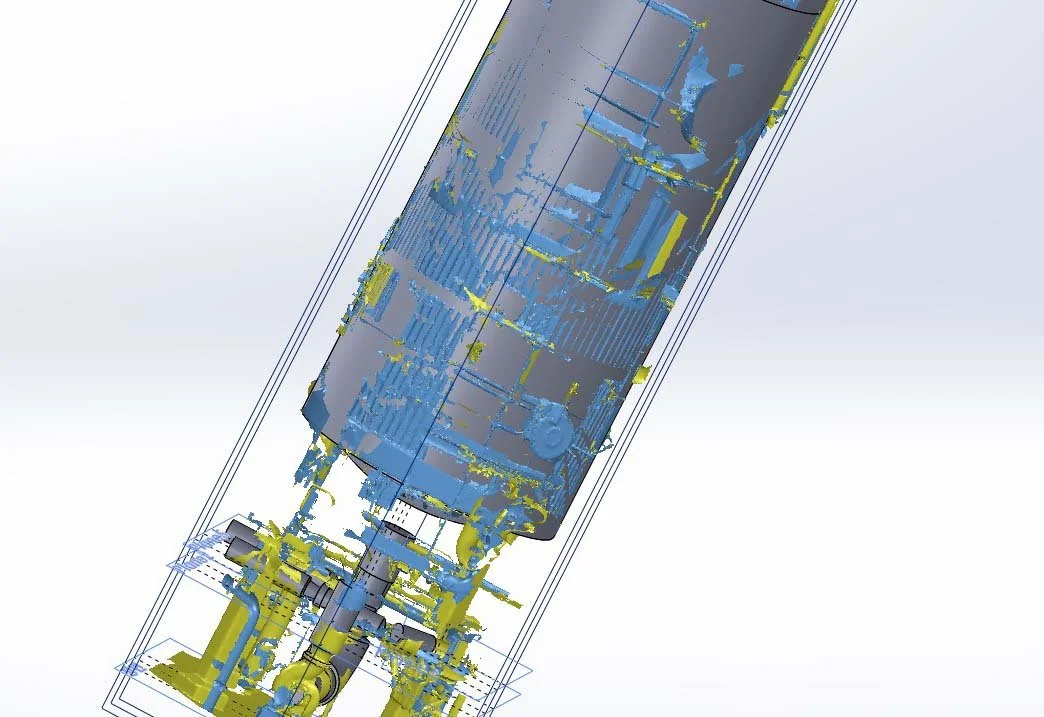
Industrial
Plant and factory 3D scanning and modelling
Boat modelling
Improve factory layout for increased efficiency
Design structures and components that will install first time, minimise shut downs
Precise component reverse engineering, no component is too big or too complex
As-built surveys
-
Power and Utilities
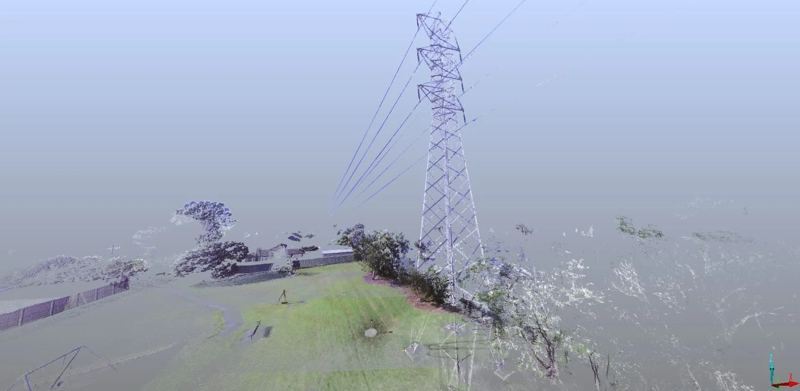
Capture and modelling of overhead wires and structures
Remote scanning of pipes and culverts
Modelling of the physical environment, enabling accurate and cost-effective design
Repeat scans to monitor and model change
Easily extract a DTM/contours for ground modelling, overland flowpath
Data supplied as pointcloud or a preferred 3D model format for direct import into your software
-
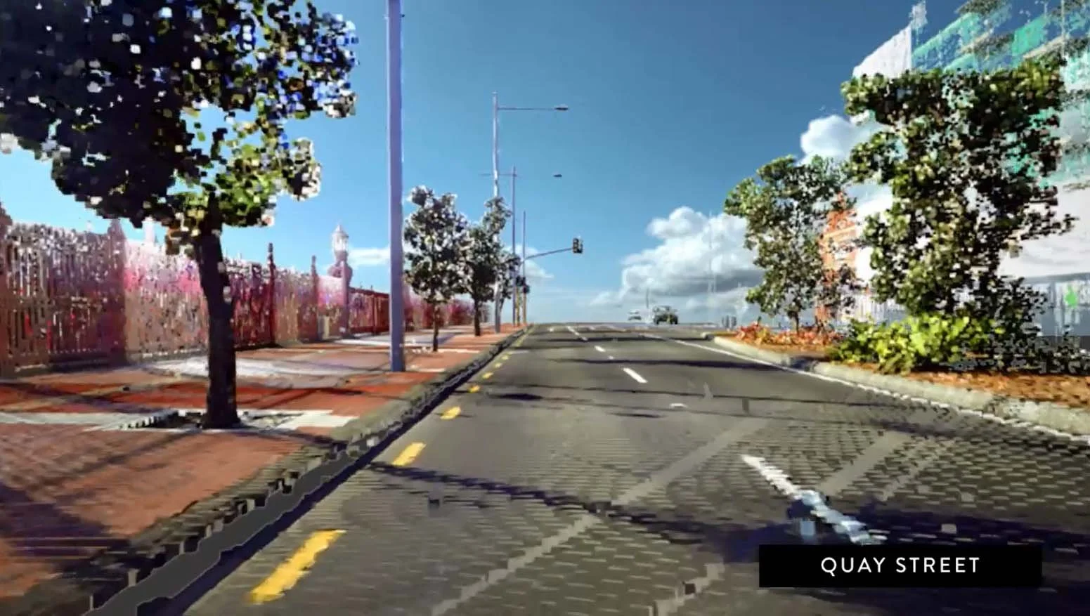
Transport
Capture all detail quickly and accurately including overhead lines, signs, kerb and channel, road surface, surrounding buildings, walls and fences
Capture and analyse pavement surface
Initial data is available within hours of completing scanning
Safety - no need for staff to be on the road pavement
More cost-effective than traditional survey techniques
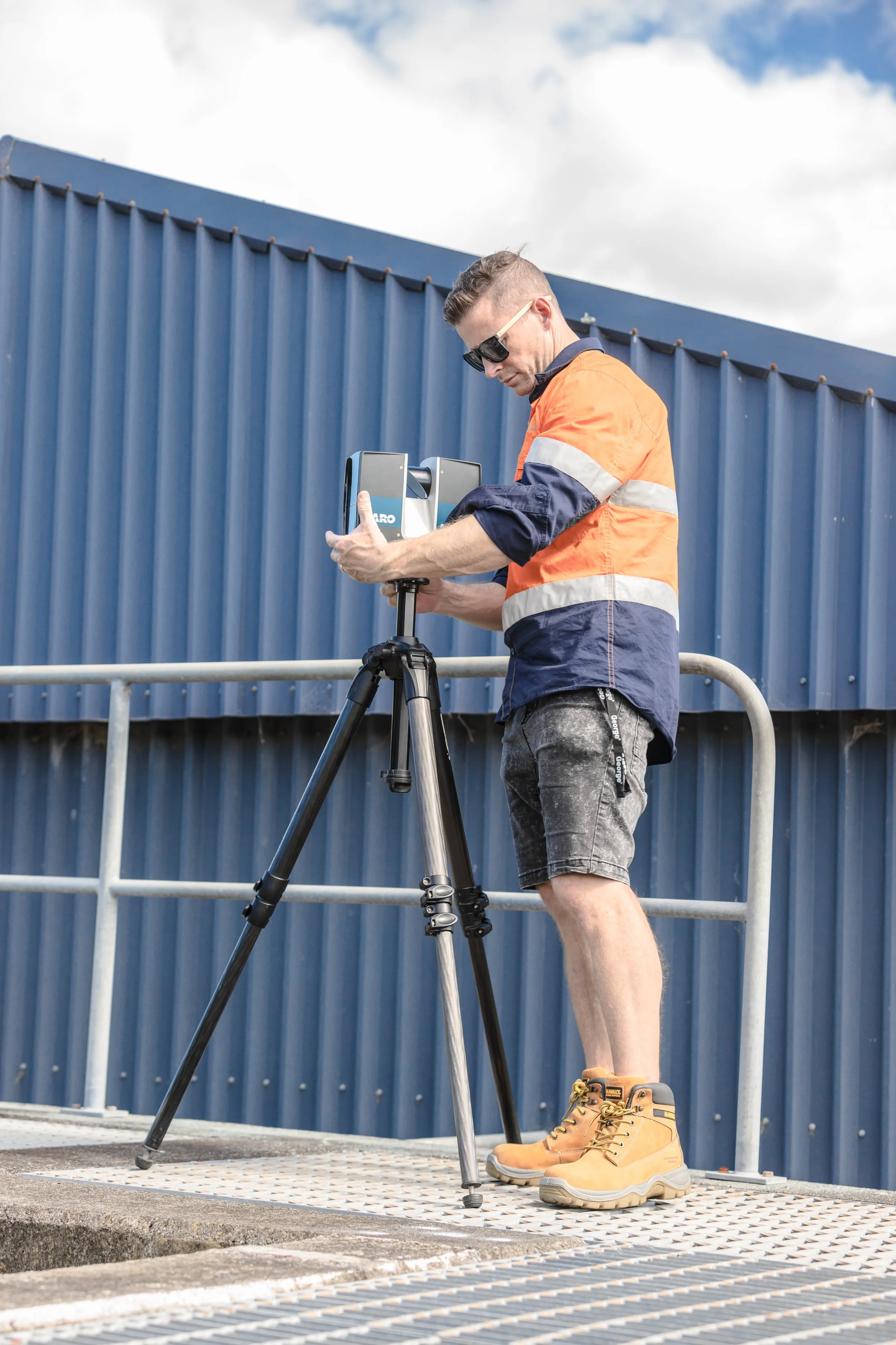
We use Faro scanners to measure and capture precise 3D data of an object or environment. With comprehensive point cloud data and precise 3D models, we streamline project planning and execution, enhancing efficiency and innovation.
3D laser scanning emits a beam of light which is then reflected off the object or environment and recorded by the scanner. This data is then used to create a highly accurate 3D model of the object or environment.
3D laser scanning is commonly used in industries including construction, engineering, architecture, and cultural heritage preservation. It can be used to create accurate 3D models of buildings, bridges, tunnels, and other structures, as well as to capture the details of historical artifacts and sites.
Case Studies
-

3D SCAN TO CAD MODEL
Architectural designer, Ron Kumar of ark studio, was eager to put Recon’s laser scanning services to the test when his client engaged him to re-design adjoining commercial buildings in South Auckland this year. The buildings were in a bit of a state but had good bones so getting the structure and existing layouts scanned and modelled to sub-centimetre accuracy meant Ron could devote his time to doing what he’s best at – designing.
-
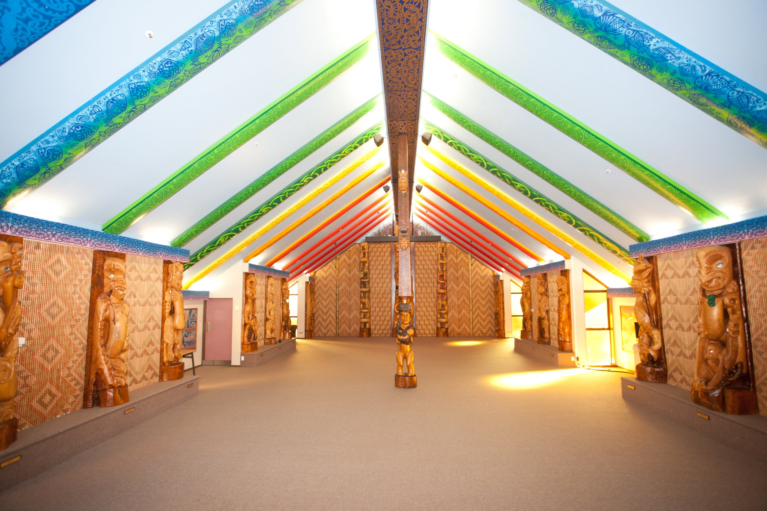
3D LASER SCANNING BRINGS MAORI CULTURE TO LIFE FOR STUDENTS
In order to provide a more immersive learning environment for students, carvings and wall panels inside the meeting house, along with the interior space itself, were recently scanned by Recon.
The scans will form the basis for a Virtual Reality (VR) tour of the meeting house, furthering students’ engagement with Te Reo language and culture in a new and innovative way.
-
“Been working with Jeremy over the last 5 years whenever we need to make use of the 3D laser scanners, equipment and their services. Jeremy and Ben have always gone the extra mile to accommodate and work in with what we need to achieve and can honestly say it’s been a pleasure to deal with them each time. Highly recommend their services to anyone in the industry!”
Petrus Barkowitz - Waikato Steel Fabricators
-
"Recon have helped us with aerial drone surveys, 3D laser scanning and 3D modelling work. Their work across these various services has been fantastic and I would recommend them highly. To top it off, they are consistently very responsive and timely with their work."
Yin Lee - GHD
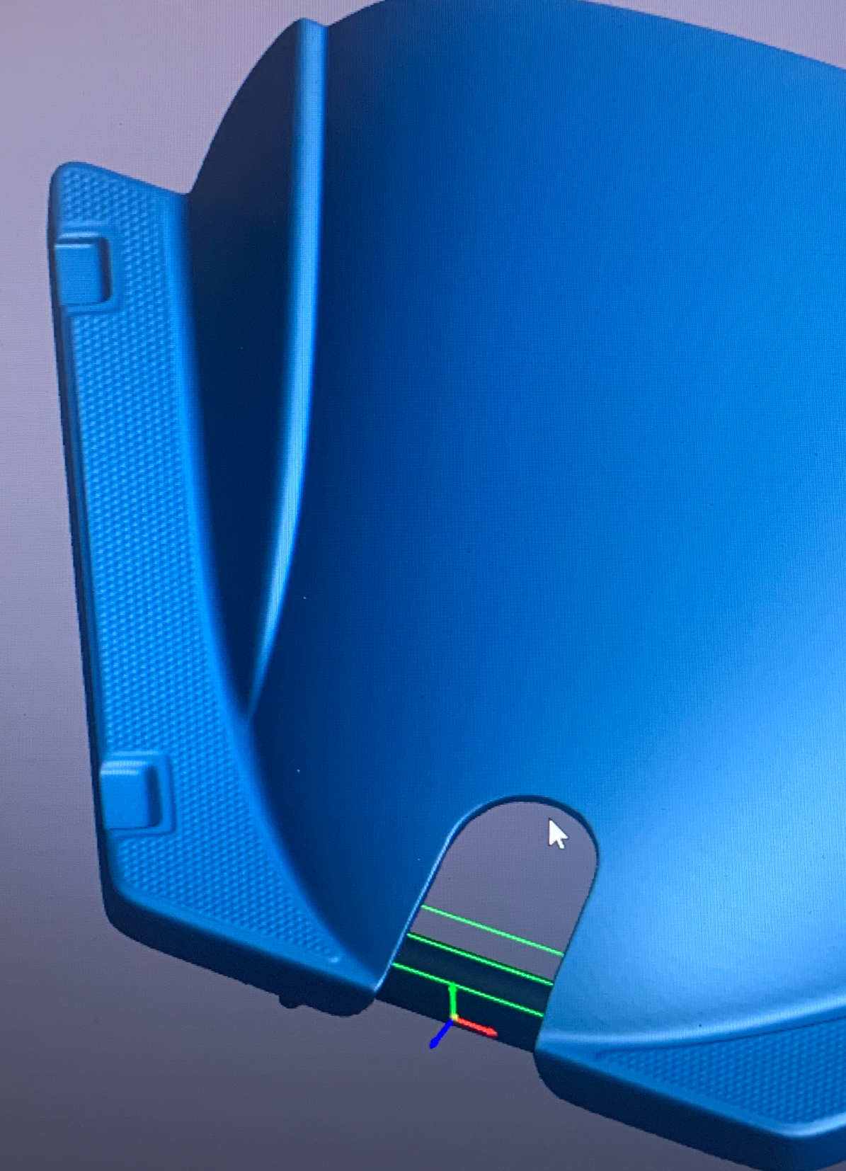
3D Scan to CAD Reverse Engineering
Our portable 3D scanning services are ideal for reverse engineering and inspection purposes. We can transform your part into a 3D CAD model efficiently and effectively, regardless of location or environment.

